While everything we had read and studied showed that there was little to no wind for the first step of the crossing, you can’t help yourself but hope that the forecasts might be wrong anyway. We’ve had countless forecasts during this adventure that have shown both lighter and stronger winds than what we’ve had once out on the ocean.
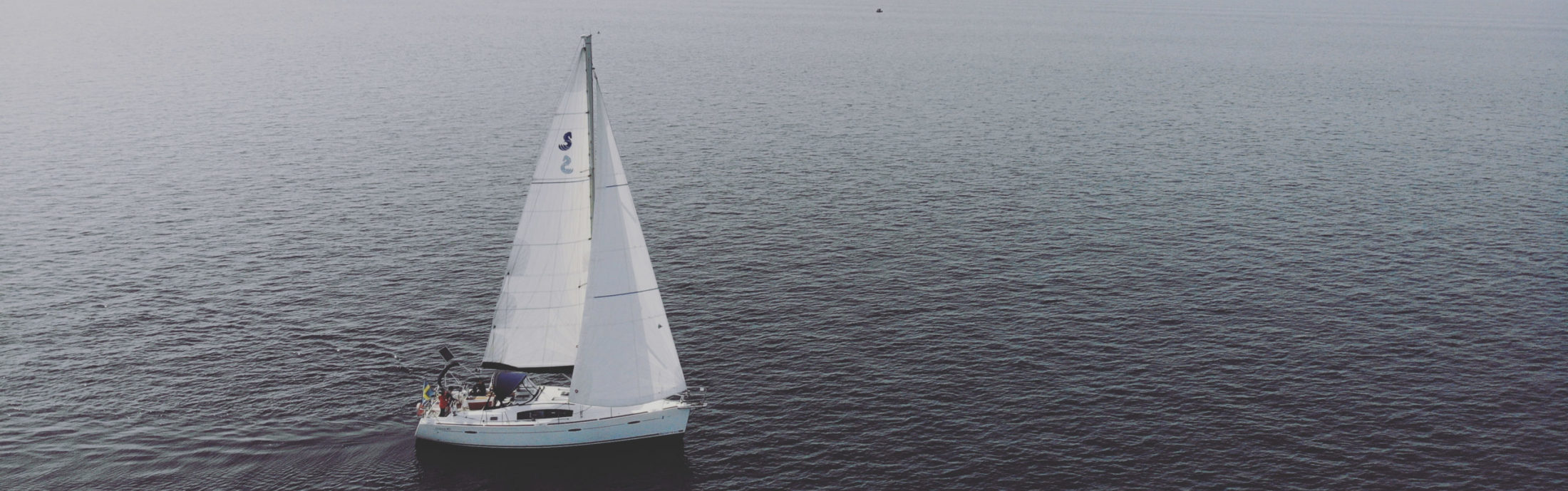
This time though, the forecasts were painfully accurate. We motored, motored and motored some more. Carefully and stressfully monitoring the diesel consumption (both of us silently calculating the cost of each hour), the engine temperature and the status of the engine systems. After two full days of motoring we felt the first gentle breeze and took the chance straight away, hoisted the full main and the Code-0 to take advantage of the engine less hours. The wind was shifting both up and down and around. Several times a day and night we would hoist the sails, change sails, take them down again and switch between the Code-0 and the Genoa. While the Code can handle lighter winds and, to our great surprise, sometimes get us moving in even the lightest winds (provided that the seas are flat), the Genoa can handle courses with a lower wind angle. We were working the angles the best we could and making use of the increased apparent wind when sailing more towards the wind. For each day passing it seemed like the wind was disappearing just in front of us.
The constant changes, all times of the day and night, continued until we were one week out. All our jerry cans had been poured over to the diesel tank and we had calculated how much diesel we wanted to save in case of an emergency. We were cautiously watching every weather forecast, checking the ocean current calculations and discussing with our weather advisor ashore. One week into the crossing we could finally start sailing for real and it actually didn’t take too long until we had to start reefing the sails. The trade winds had kicked in with noticeable force.
The Indian Ocean is known to be a bumpy ocean, while you have the wind from behind (classic trade wind style) you have the waves rolling in from the Southern Ocean and hitting you from the side. Making it all, as we now were to learn for ourselves, a very bumpy ride.
Something we hadn’t heard or read on the other hand was the amount of fishing vessels and fishing buoys far from the shore. While we have become accustomed to the increase in fishing vessels and fishing tools closer to land, for us usually meaning an increase the first and last 24 hours of each passage, we have most of the time seen that vessels out on international waters refrain from placing any nets, buoys and make sure to operate with both lights and AIS active. Crossing the Timor Sea though we had the scary realization that even when we were roughly 130 NM from the closest point of land and even though it was more than 4000 meters deep we were regularly seeing fishing vessels without lights, radar reflectors or AIS along with huge buoys (2 meters high) left without any lights or anything to help us spot them. Along our track towards Christmas Island we felt that both boats and buoys were too close for comfort and ended up more or less hugging the search light during night shifts, ready to shine our light on anything and everything in hope of avoiding a collision or getting caught up in anything fishy.
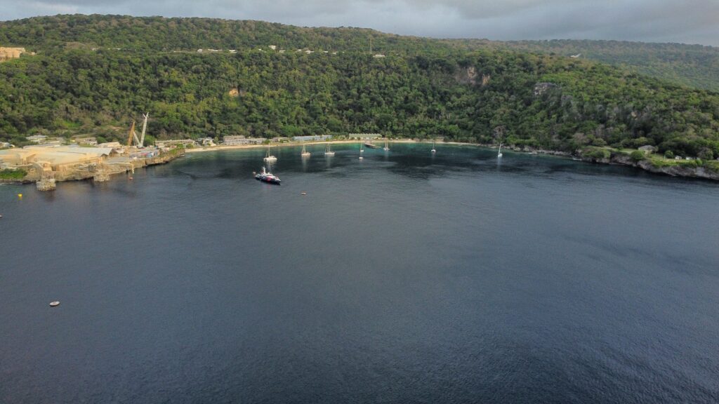
Eventually, after 10 days, we could finally see our destination. The mountains of Christmas Island were towering up out of the water and we could sneak around the northern tip to the Flying Fish Cove. Glad to check off the first milestone of the Indian Ocean we were now looking forward to a few days of exploring the island that is often described as “the Galapagos of the Indian Ocean”.